Maps of Ellendale, Minnesota
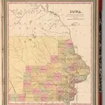 1849|Mitchell, Samuel Augustus1:1 400 000
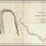 1835|Featherstonhaugh, G.W.1:506 880
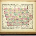 1856|Colton, G.W.1:1 440 000
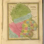 1845|Tanner, Henry S.1:1 700 000
 1852|Grassl, J. (Joseph)1:1 600 000
 1854|Colton, G. Woolworth1:887 000
 1855|Colton, G. Woolworth1:887 000