Project
Community
News
My App
My maps
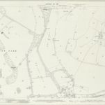
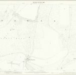
Sussex LIII.SE - OS Six-Inch Map
1909
Ordnance Survey
1:11k
Sussex LIII.SE - OS Six-Inch Map
1909
Ordnance Survey
1:11k
Sussex LIII.SE - OS Six-Inch Map
1897
Ordnance Survey
1:11k
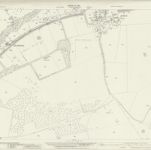
Sussex LIII.15 (includes: Falmer; Stanmer) - 25 Inch Map
1909
Ordnance Survey
1:3k
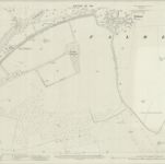
Sussex LXVI.3 (includes: Brighton; Falmer) - 25 Inch Map
1928
Ordnance Survey
1:3k
Sussex LXVI.3 (includes: Brighton; Falmer) - 25 Inch Map
1909
Ordnance Survey
1:3k
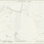
Sussex LIII.11 (includes: Falmer; Plumpton; Stanmer; Streat) - 25 Inch Map
1909
Ordnance Survey
1:3k
Sussex LIII.11 (includes: Falmer; Plumpton; Stanmer; Streat) - 25 Inch Map
1897
Ordnance Survey
1:3k
Sussex LXVI.NE - OS Six-Inch Map
1938
Ordnance Survey
1:11k
Sussex LXVI.NE - OS Six-Inch Map
1928
Ordnance Survey
1:11k
History
Old maps of Falmer
Discover the past of Falmer on historical maps
Old maps of Falmer
Discover the past of Falmer on historical maps
Explore Maps
Discover History
Parent places
Lewes (UK Parliament constituency)
Related places