Maps of Gmina Jabłonowo Pomorskie
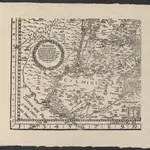 1863|Koch, W.1:400 000
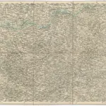
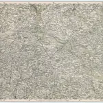 1874|Militärgeographisches Institut1:300 000
 1874|Militärgeographisches Institut1:300 000
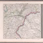 1875|Stieler, Adolf1:740 000
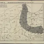 1871
1871
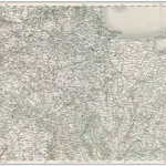
 1873|Militärgeographisches Institut1:300 000
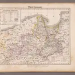 1855|Flemming, Carl1:940 000