Maps of Julesburg, Colorado
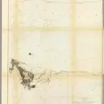 1861|Gunnison, J.W.1:760 320
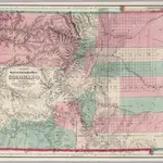 1871|Colton. G.W. & C.B.1:633 600
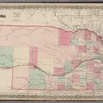 1869|Colton, G.W.1:1 100 000
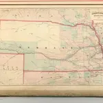 1875|Asher & Adams1:1 260 000
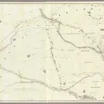 1856|Warren, Gouverneur Kemble, 1830-18821:600 000
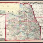 1874|Mitchell, Samuel Augustus Jr.1:1 900 000
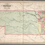 1859|Mitchell, Samuel Augustus1:1 457 280