Project
Community
News
My App
My maps
Maps of Käbschütztal
Advanced search
All
Private
Favorites
Topographische Karte von der Gegend zwischen Magdeburg, Leipzig u. Dresden, welche die Eisenbahn berührt
1841|Platt, Albrecht
1:50 000
Panorama der Eisenbahn zwischen Leipzig und Dresden
1839|Hirschfeld
Der Leipziger Kreis
1826|Riedig, Christian G.
1:25
V.2:6-10:VIII. Schsen. 3. Der Erzgebirgische Kreis
1825|Hermann, O.
1:100 000
Special-Karte des Leitmeritzer Kreis - resp. politisch. Verwaltungsbezirkes nach der politischen Eintheilung Böhmens vom J. 1868
1868|Schmidt, Eduard
1:211 000
Kottbus
1873|Militärgeographisches Institut
1:300 000
[Prag
1873|Militärgeographisches Institut
1:300 000
1600
1650
1700
1750
1800
1850
1900
1950
2000
History
Old maps of Käbschütztal
Discover the past of Käbschütztal on historical maps
Old maps of Käbschütztal
Discover the past of Käbschütztal on historical maps
Explore Maps
Discover History
Parent places
Meissen (district)
Related places
© MapTiler
© OpenStreetMap
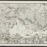 1841|Platt, Albrecht1:50 000
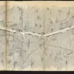 1839|Hirschfeld
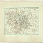 1826|Riedig, Christian G.1:25
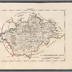 1825|Hermann, O.1:100 000
 1868|Schmidt, Eduard1:211 000
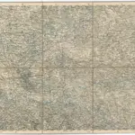 1873|Militärgeographisches Institut1:300 000
 1873|Militärgeographisches Institut1:300 000