Maps of Perry Park, Colorado
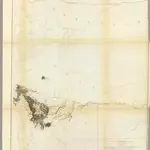 1861|Gunnison, J.W.1:760 320
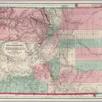 1871|Colton. G.W. & C.B.1:633 600
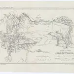 1859|Dietrich Reimer1:3 000 000
 1859|Mitchell, Samuel Augustus1:1 457 280
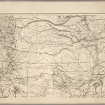 1875|U.S. War Department1:1 530 000
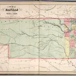
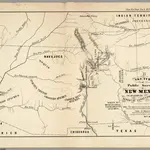 1855|U.S. General Land Office1:380 160
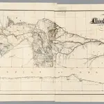 1869|Dodge, G.M.1:1 267 200