Progetto
Comunità
Notizie
La mia app
Le mie mappe
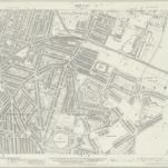
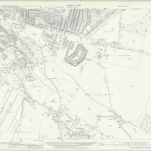
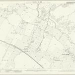
Kent XIX.8 (includes: Gillingham) - 25 Inch Map
1932
Ordnance Survey
1:3k
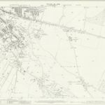
Kent XIX.8 (includes: Gillingham) - 25 Inch Map
1907
Ordnance Survey
1:3k
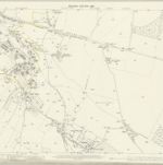
Kent XIX.8 (includes: Gillingham) - 25 Inch Map
1896
Ordnance Survey
1:3k
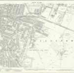
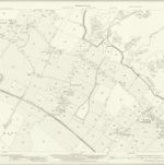
Kent XIX.12 (includes: Chatham; Gillingham) - 25 Inch Map
1939
Ordnance Survey
1:3k
Kent XIX.12 (includes: Chatham; Gillingham) - 25 Inch Map
1932
Ordnance Survey
1:3k
Kent XIX.12 (includes: Chatham; Gillingham) - 25 Inch Map
1907
Ordnance Survey
1:3k
Kent XIX.12 (includes: Chatham; Gillingham) - 25 Inch Map
1896
Ordnance Survey
1:3k
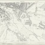
Rainham (Kent)
1797
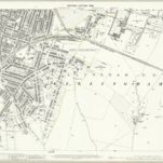
Kent XX.5 (includes: Gillingham) - 25 Inch Map
1932
Ordnance Survey
1:3k
Kent XX.5 (includes: Gillingham) - 25 Inch Map
1906
Ordnance Survey
1:3k
التاريخ
Vecchie mappe di Gillingham (Kent)
Scoprite il passato di Gillingham (Kent) sulle mappe storiche
Vecchie mappe di Gillingham (Kent)
Scoprite il passato di Gillingham (Kent) sulle mappe storiche
Esplorare le mappe
Scoprire la storia
Regione madre
Borgo di Medway
Luoghi correlati